How can we help?
Registering to vote and new voter ID requirements
Register to vote and have your say on who represents you.
Mayor of London and London Assembly elections 2024
The Mayor of London and London Assembly Elections are on 2 May 2024.
Need help to get online and confidently use the internet?
We are working with many local community groups and regional organisations to help our residents get online.
Services
News

Community champions celebrated at 2024 Mayor's Awards ceremony
26 April 2024
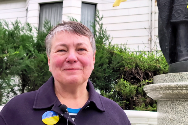
Homes for Ukraine
23 April 2024Find your Councillor and ward
Find out who your local councillor is or what ward you live in using your postcode.
Have your say on current consultations
Find out about current and future consultations and how to get involved.
Discover how the Council works
Discover how Council decisions are made and how you can get involved.
Sign up to enewsletters
Subscribe to one of our enewsletters for the latest news and updates across the borough.

